-40%
Garmin TOPO US 24K Southeast TOPO US 24K Navigational Sotware
$ 53.58
- Description
- Size Guide
Description
Garmin TOPO U.S. 24K. Southeast(010-C1133-00).Brand New
Includes One Year Warranty. . Product # 010-C1133-00 (microSD/SD card)
. .
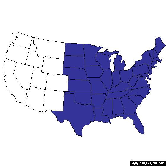
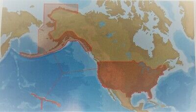
The Garmin TOPO U.S. 24K - Southeast navigational software covers Alabama, Delaware, Florida, Georgia, Kentucky, Louisiana, Maryland, Mississippi, North Carolina, Puerto Rico, South Carolina, Tennessee, Virginia and West Virginia. Routable trails, rural roads, city neighborhood roads, major highways and interstates are shown in great detail. TOPO maps include points of interests such as parks, campgrounds, scenic lookouts and picnic sites.
. .
TOPO U.S. 24K - Southeast
About Us
Ebay Store
Shipping
Returns
Payment
NEW
Garmin TOPO US 24K Southeast TOPO US 24K - SOUTHEAST
Automotive GPS
SHOP NOW
Fitness
SHOP NOW
Outdoor
SHOP NOW
Marine
SHOP NOW
Maps & Updates
SHOP NOW
Accessories
SHOP NOW
Description
Garmin TOPO U.S. 24K
Southeast(010-C1133-00)
Brand New
Includes One Year Warranty
Product # 010-C1133-00 (microSD/SD card)
The
Garmin TOPO U.S. 24K - Southeast
navigational software covers Alabama, Delaware, Florida, Georgia, Kentucky, Louisiana, Maryland, Mississippi, North Carolina, Puerto Rico, South Carolina, Tennessee, Virginia and West Virginia. Routable trails, rural roads, city neighborhood roads, major highways and interstates are shown in great detail. TOPO maps include
points of interests
such as parks, campgrounds, scenic lookouts and picnic sites.
TOPO U.S. 24K - Southeast Features:
Navigational Software
Coverage:
- Alabama, Delaware, Florida, Georgia, Kentucky, Louisiana, Maryland, Mississippi, North Carolina, Puerto Rico, South Carolina, Tennessee, Virginia and West Virginia
Hydrographic Features of Coastlines, Lake & River Shorelines, Wetlands, & Perennial/Seasonal Streams
Routable Trails, Rural Roads, City Neighborhood Roads, Major Highways & Interstates
Digital Topographic Maps
-Based on the 1:24,000 Scale USGS Maps
-Covering National, State & local parks, Forests & Conservation & Wilderness Areas as well as Bureaus of Land Management Township, Range & Section Information and USGS Quad Locations
Searchable by City, Summit, Lakes, Campsites & More
Amenities
-Parks, Campgrounds, Scenic Lookouts & Picnic Sites
Elevation Profile(On Compatible Garmin Devices) Estimates Terrain Difficulty
Customer Service
We are working together with eBay to ensure your protection.
Please allow us the opportunity to resolve any issues before opening disputes and/or leaving feedback. Feel free to contact us.
We are open Monday-Friday 9:00AM-5:00PM EST. We are closed weekends and holidays.
Any emails or calls received out of normal business hours will be returned the next business day
Payment & Shipping
- We Only ship to a confirmed PayPal addresses. No exceptions.
Note: We do not ship to these specific locations or addresses such as
Alaska, Hawaii, US Protectorates (Puerto Rico), APO/FPO, PO Box addresses.
International Customers
If the item includes an ac power adapter for use, it will be 120 volts. Please ensure that this product is compatible with the standards within your country before purchasing.
You are responsible for shipping and handling charges in the event of a returned package.
You are responsible for any import duties.
We will not reimburse any shipping or duty charges for any reason. This includes all returns.
Please contact eBay if you wish to receive a shipping or Duties credit.


