-40%
Garmin BlueChart G3 Vision VUS512L Mid-Atlantic Coast Chart microSD/SD
$ 202.51
- Description
- Size Guide
Description
Garmin BlueChart g3 Vision - VUS512L - Mid-Atlantic - microSD/SDBlueChart® g3 Vision® - VUS512L - Mid-Atlantic - microSD™/SD™
See your vessel's precise, on-chart position in relation to navaids, coastal features and restricted areas with premium features found in this detailed marine mapping data. Includes all of the features of our BlueChart® g3 product, plus 3-D perspective above and below the waterline, Auto Guidance, high-resolution imagery, and aerial photos of ports, harbors, marinas and landmarks.
Coverage:
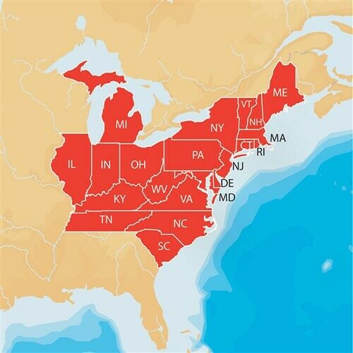
Coverage of the east Coast from Barnegat Inlet, NJ through Jacksonville, FL, to Bermuda. Coverage includes the Delaware River to Trenton, NJ; the Chesepeake Bay in full; the Albemarle and Pamlico Sounds in full; Cape Fear, NC; the Savannah R. to Augusta, GA; and the St. Johns R. to Hastings, FL. Bathymetric coverage from Hudson Canyon to the Blake Escarpment, including the Wilmington, Baltimore and Washington Canyons, Charleston Valley, and the Savannah Seachannel.
Specifications:
Card Format: MicroSD/SD
Port Plans: Yes
Aerial Photos: Yes
3-D View: Yes
Box Dimensions: 1"H x 6"W x 8"L WT: 0.3 lbs
UPC: 753759069216
Track Page Views With
Auctiva's FREE Counter


