-40%
Garmin Bluechart g2 hxus039r 2011 Micro SD Card - excellent cond. 010-C1018-20
$ 27.42
- Description
- Size Guide
Description
Garmin Bluechart g2 hxus039r 2011 Micro SD Card 010-C1018-20Updated to 2014.5
Plug and Play, works in Garmin handheld gps units that accept a micro sd card or full size sd card with adapter (included)
See details below
Excellent condition
This version is not locked so it can be used in mulitple units that are compatible
Auction includes:
Micro Sd card
Full size adapter
**** Works only in gps, not on your computer
BlueChart Compatibility
BlueChart g2 on microSD/SD is recommended for: Colorado, Dakota, Oregon, nuvi 500 series; GPSMAP 60Cx/CSx, GPSMAP 76Cx/CSx, RINO 520HCx, 530HCx
BlueChart g2 on microSD/SD has limited compatibility (won't show BlueChart g2 Vision features) with:
GPSMAPs: 400 series, 500 series, 600 series, 700 series, 4000 series, 5000 series, 6000 series, 7000 series
eTrex Legend Cx / HCX
eTrex Vista Cx / HCX
eTrex Venture Cx
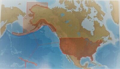
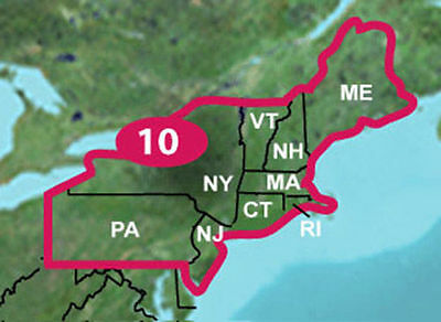
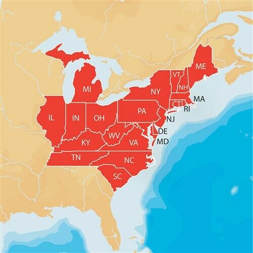
Provides detailed coastal coverage of the U.S., including the East Coast from Key West, FL, to the Canadian border, and the West Coast from Puget Sound to the Mexican border; Alaska; Hawaii and major inland rivers; the U.S. Gulf Coast to the Mexican border and the Mexican Gulf Coast to the Yucatan. Canadian coverage includes the entire St. Lawrence Seaway, Nova Scotia and New Brunswick. The Great Lakes are covered in their entirety as are the Lake of the Woods. Coverage includes Prince Edward Island, Anticosti Island, Vancouver Island, including the Inside and Outside Passages, the Aleutian and Channel Islands, the Bahamas, the Turks and Caicos Islands, Cozumel, Cuba, Hispaniola, Puerto Rico and the U.S.
Virgin Islands
.
Features
Includes realistic navigation features showing everything from shaded depth contours and coastlines to spot soundings, navaids, port
plans
, wrecks, obstructions, intertidal zones, restricted areas, IALA symbols and more.
Features smooth displays, including seamless transitions between zoom levels and more continuity across chart boundaries.
Allows users to choose between standard 2-D direct overhead or 3-D "over the bow" map perspective to make chart reading and orientation easier.
Provides Safety Shading (in compatible units), allowing mariners to enable contour shading for all depth contours shallower than user-defined safe depths.
Provides Fishing Charts (in compatible units), allowing mariners to scope out bottom contours and depth soundings with less visual clutter on the display.
Michigan Buyers Pay 6% sales tax
** I ship items the day after the auction ends at the very latest.
* This item for sale to USA buyers.*
All sales final
v2.0


